Cartography
CEN CAL GIS combines artistic graphic design with map-making to add an aesthetic potency to our maps. We thoroughly define the purpose of the map and its intended audience to deliver a clear and impactful message, whether the map is used for education, marketing, reporting, public safety, pre-fire planning…etc.
Web-based mapping
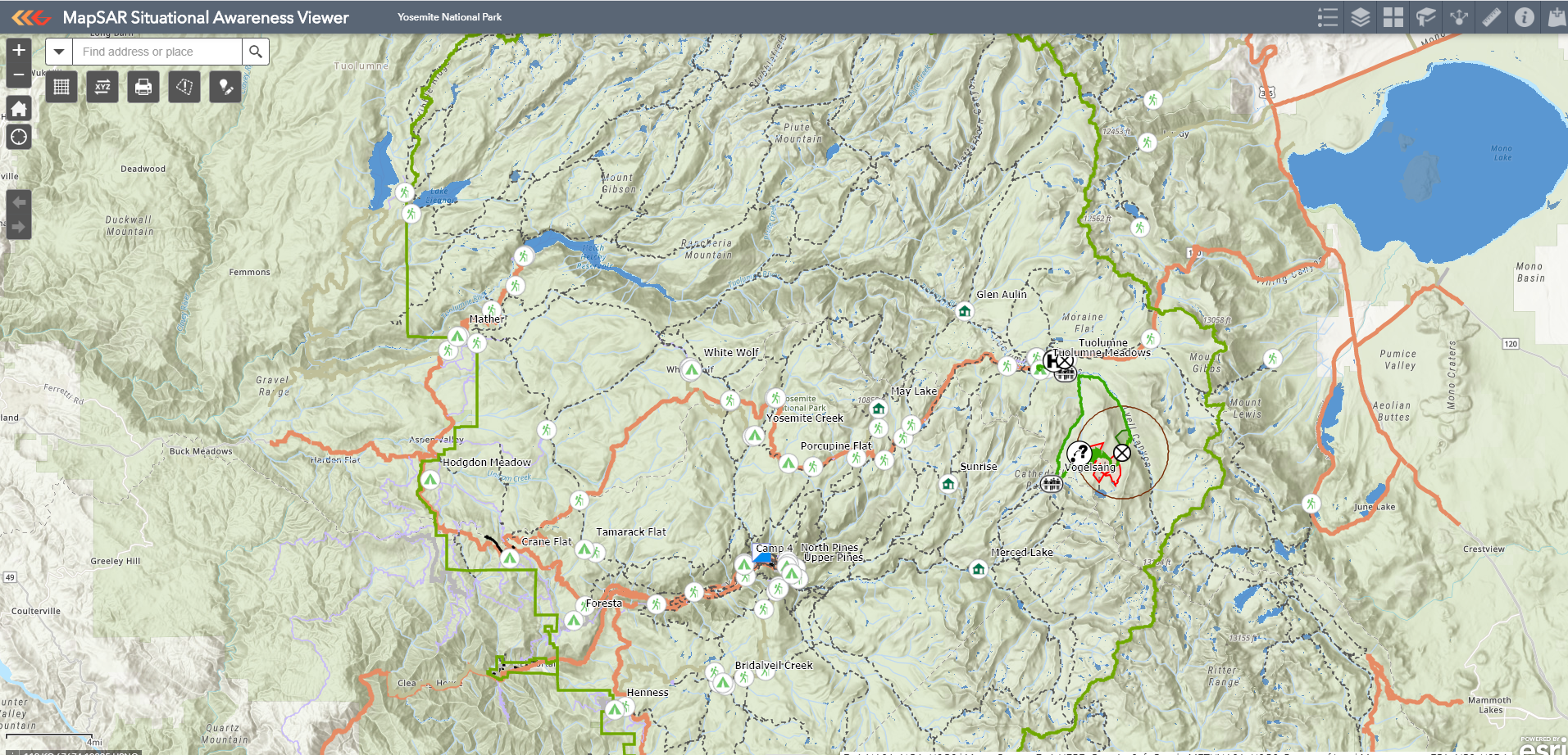
Using industry-standard ArcGIS® Online, we work closely with our clients to create customized web maps for organizational sharing and data collection. Interactive GIS maps can be used offline in the field for verifying and correcting information, and displayed in many web applications, such as Field Maps, Story Maps and Esri’s configurable apps with geoprocessing tools that provide an intuitive way to explore and analyze your data.
Asset mapping
Mapping assets can improve knowledge of value and aid in project planning. We can visualize your assets by driving field data collection with the use of Field Maps (the new app that will replace ArcGIS Collector). This ESRI app enables organizations to use web maps to gather data in the field and to synchronize the results with their organization’s GIS data.
Training, support and maintenance
CEN CAL GIS provides training on the basic use of ArcGIS Online and suite of applications, as well as GPS field training. We provide on-site training and as-needed support with the goal of leaving clients able to operate their own systems and expand their use of these systems.
Environmental analysis
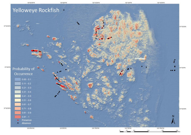
We use geospatial thinking to uncover solutions to environmental problems. For example, we developed species distribution models to predict where threatened species of rockfish occurred beyond the limited sampled areas to inform resource management staff on where to designate Essential Fish Habitats. We’ve also conducted vegetation mapping for dune habitat restoration planning, sudden oak death and native grassland grazing effects in Monterey County.
restoration and conservation planning
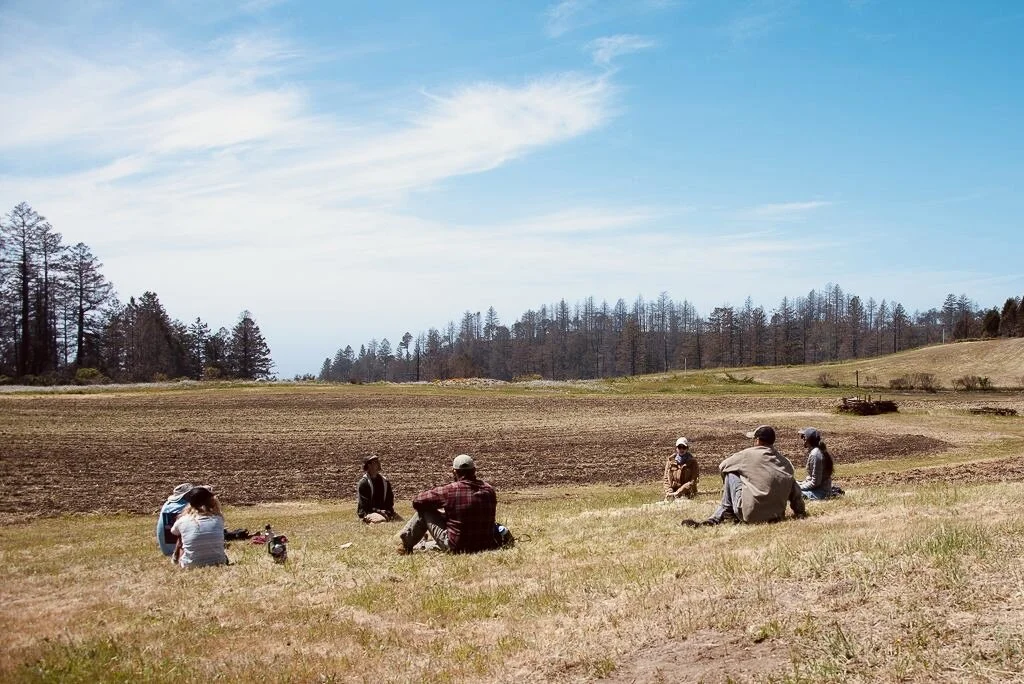
Many factors threaten native habitats and resources along the central coast of California. Over the past 8 years we have acquired a deep knowledge of the primary types of ecosystem vegetation categories (eg. grassland, oak savanna, oak-shrub woodland, oak woodland, north coastal scrub and maritime chaparral), and have conducted research in marine ecosystems such as the tide pools, kelp forests, deep sea and submarine canyons. With our combined use of GIS technologies and having a strong background in local applied ecology and conservation, we have worked with many conservation and land management agencies to plan and evaluate restoration and conservation efforts. We have acquired historical and high-resolution imagery that we backed up with field observations to identify vegetative habitat types, rare plants, and areas of erosion. We aim to increase efficiency, save money and yield the greatest restoration success and to make informed suggestions to the natural resource management team about when and where to conduct restoration efforts. GIS can also be used to track project progress for reporting and outreach materials.
video imagery analysis
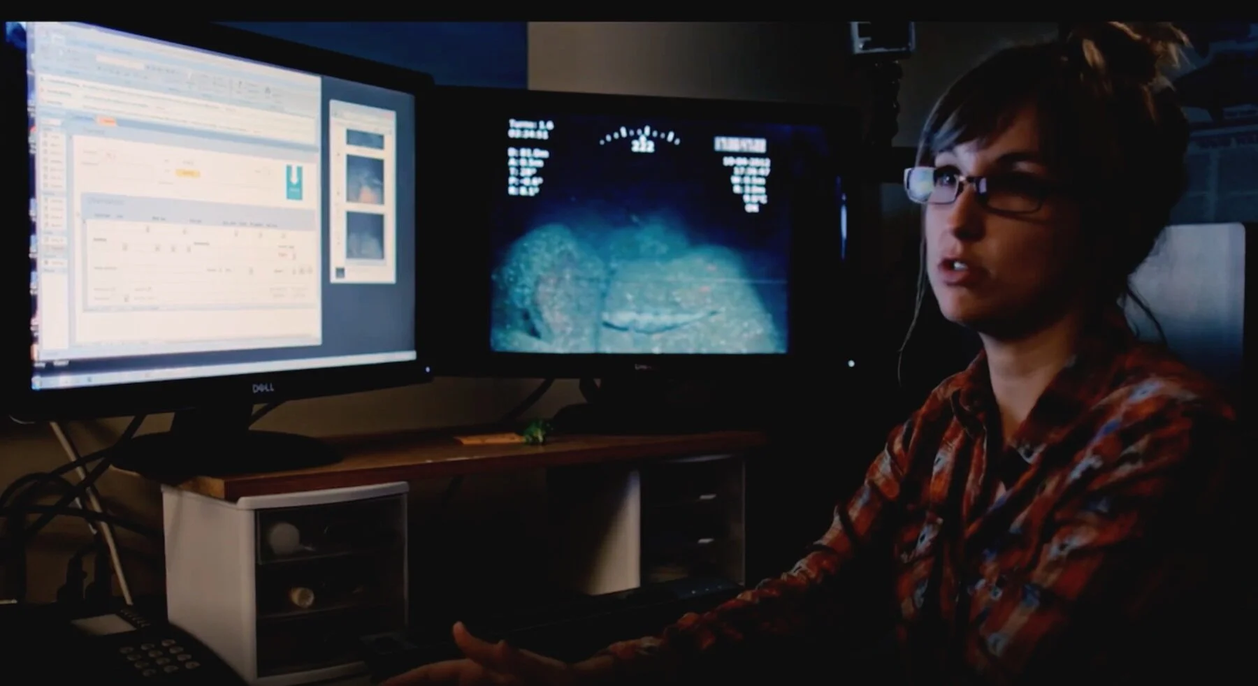
We have a strong knowledge base of local flora and fauna of both terrestrial and marine ecosystems of central California. For example, we have counted, sized and identified fish and invertebrates to the lowest taxonomic category from undersea remotely operated vehicle imagery. We compiled these observations into a substantial georeferenced biological database. Fish and invertebrates of that georeferenced database can then be mapped and explored in their native habitats.


