…always something new to learn.
Despite the world slowing down as a result of the recent pandemic, GIS technologies and their myriad applications continue to rapidly evolve. That is why I am always learning the latest and greatest through intensive training courses offered by ESRI.
I just completed a 6-week cartography course on applying the latest ArcGIS Pro 2D and 3D map design tools to produce engaging maps that communicate with impact.
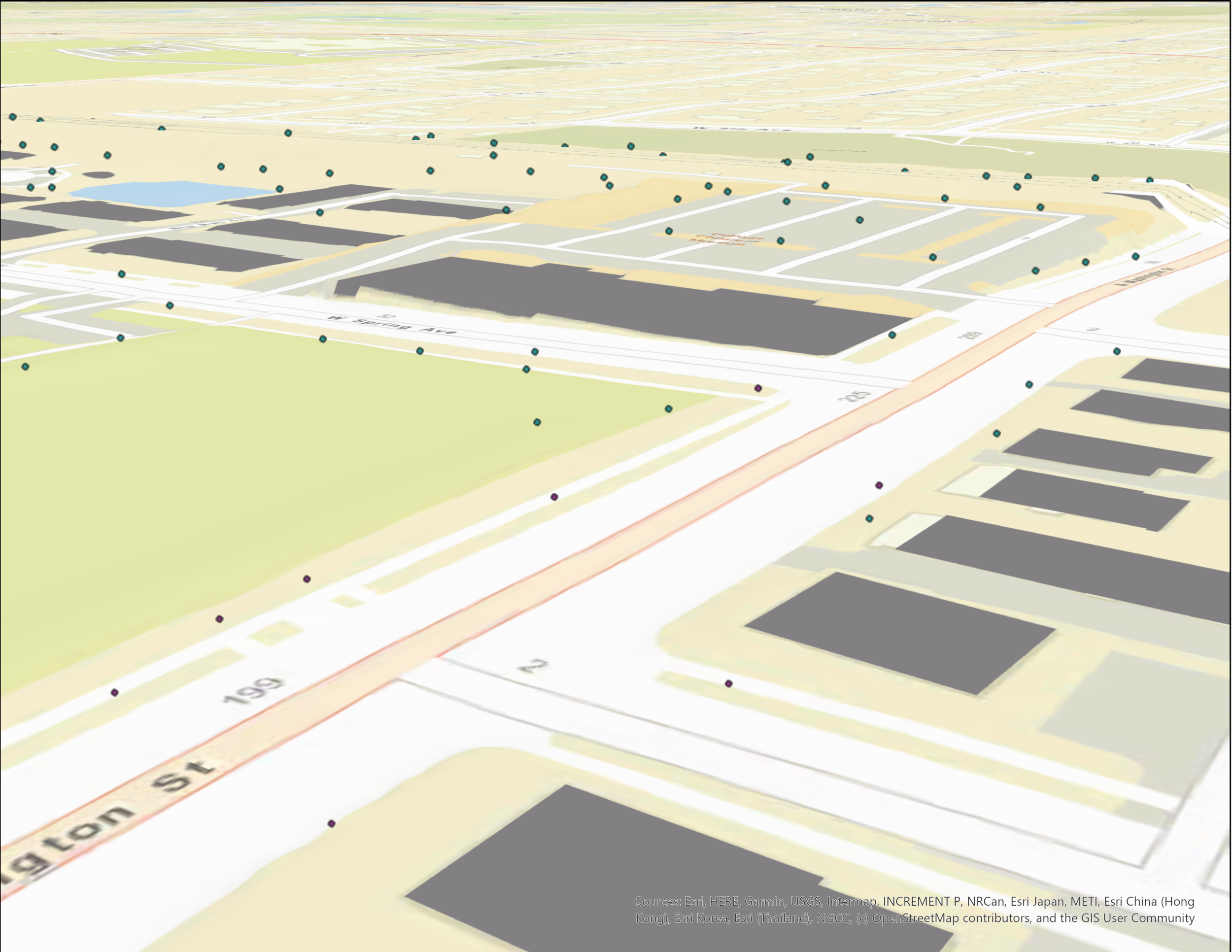
Spatial data can be viewed in a more natural way with 3D maps. In one course exercise, the goal of the map below was to take a City’s GIS data and turn it into a 3D thematic view to be shared online. I used building attributes from LiDAR data (light detection and ranging) to conduct extrusion, a process where I stretched flat 2D shapes vertically to create 3D building shapes. I also configured procedural symbols for facade rendering and other symbology properties, such as size, number of floors, and rotation.
Before
After
For another exercise, I used a small multiple layout to depict a single phenomenon (earthquakes) as a collection of multiple small maps. Below, each segment illustrates a seismic class of earthquakes around the world. A small multiple layout is static, allowing readers to compare and contrast maps at their own pace, or to allow readers to make connections with maps that would otherwise be neighboring in a conventional animation.
However, adding animation to a map and producing a video is another great tool for communicating a specific storyline. For example, I created a looping 3D fly-through to illustrate dramatic change in topography after a tragic mudslide occurred in the Steelhead Haven community, near Oso, Washington. In the animated GIF below, you can see where houses were located before, and the resulting aftermath of the mudslide. Videos created with ArcGIS Pro can be exported as multiple file formats, allowing the customization for sharing across multiple platforms (i.e., Youtube, Instagram, Facebook, embedded into websites) to reach a broader audience.
There are many ways to tell your story using 2D, 3D, static and animated maps. I’m excited to continue applying the latest and greatest mapping tools to build customized maps that communicate with impact!


